
My dear friend Abigail’s 23rd birthday falls at the beginning of July, and for part of the celebration she wanted to go on a hike somewhere out of town but relatively close by. After browsing the internet and getting suggestions from friends, we decided to do the Lewis Creek Trail just north of Oakhurst the Saturday before her birthday. Earlier in that week over Taco Tuesday at my home, we decided on the more concrete details of our trip, including that we would leave town around 7 a.m. and we would make sure to bring food with us.
The trailhead is just off the 41 a couple miles outside of Oakhurst and is marked by brown signs saying “Lewis Creek Trail.” The term “trailhead” could seem misleading because the parking area looks like a large pull-off; when we got there, only one other car was parked there. We chose a spot, put on sunscreen and bug spray (both are very necessary this summer), and started our trek through the wilderness.
About 100 yards after walking through the main gate, we met a fork in the path. The sign we came across at the fork said the Lewis Creek Trail was to the right, so that’s the direction we started in. Just over 1/2 a mile from that point, we reached Corlieu Falls.

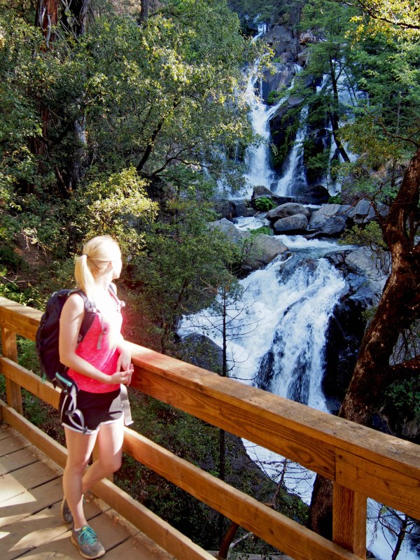

Corlieu Falls can best be seen from a platform on the path (where the above photos were taken). After a brief stop there, we continued down the trail.

After the smaller falls farther downstream, the path continues for another ~0.8 miles before you reach a house (and we learned from others on the trail that there is another parking area farther that direction). We turned back when we reached the house (after consulting the internet via our limited cell phone reception) because the other waterfall featured on the hike was off of the path to the left of the fork we encountered at the start of our hike.
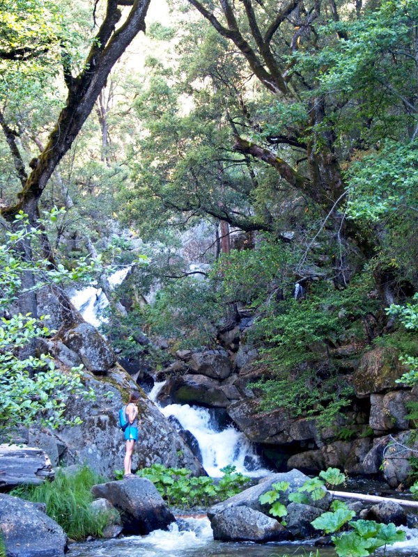
It didn’t take us very long to make it back the 1.5 miles we had traveled to the original fork in the path; from there we started on the left path (technically now it was on the right from where we were). This path is much flatter and much more scenic, though it requires a lot more of what I like to refer to as “off roading.” Typically, there is a bridge to cross the river, but that was washed out. Now, there is a decently sized log across the creek and a precarious rope attached to trees on either side of the creek designated (not marked) for hikers to cross.
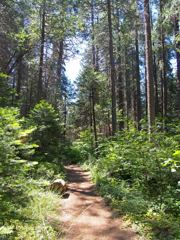
The trail varied between wide and narrow, and was mostly level with some areas that were steep. Areas were also washed out from the recent increase in water coming down the creek, so some places required slightly more creative methods to continue. After about 1.5 miles, we came to a junction where we were met by this sign:
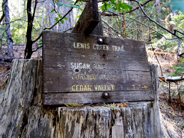
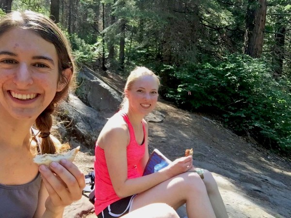
From here, we turned right and headed down toward the sound of rushing water to find we were at the top of Red Rock Falls. Above the falls was a lovely spot to stop and sit for awhile. Also while there, we decided to break out the food we brought with us.
Once we finished eating, we tried to find a way to the bottom of the falls, but didn’t have much luck with what we were able to see. The best we could get was this view off the side of the landing we ate on:

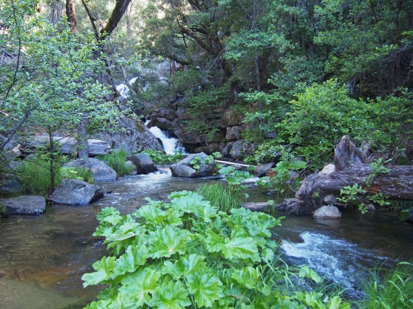
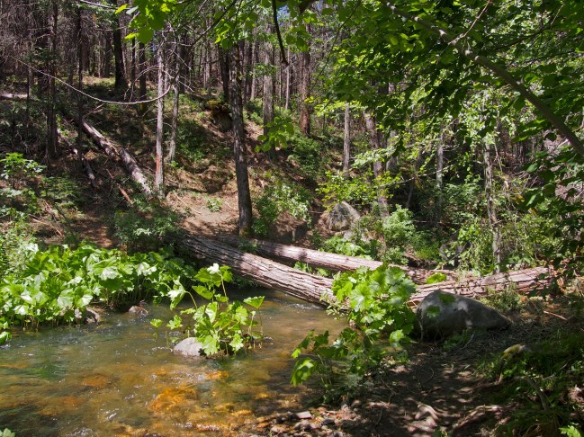
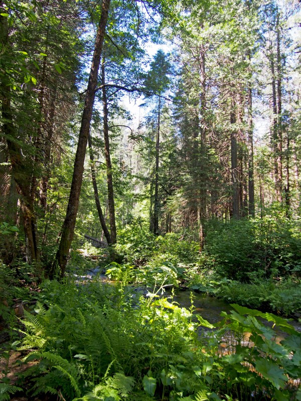
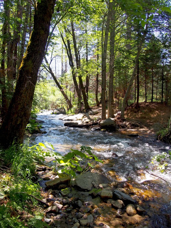
We made our way back toward the car from there. The way back was easy, but we stopped frequently to take advantage of the areas of the path that opened into clearings where we could get close to the creek.


Overall, this hike was relatively quick (we spent about 3.5 hours up there) and could fall in the easy/moderate category. Most of the featured portions of the trail are shaded by the gorgeous, towering trees of the Sierra National Forest. It’s also worth noting that we were met with quite a few bugs, but got no real bites to speak of (thanks to the bug spray).
I would, and likely will, do this trail again in the future. Come to find out, this was Abigail’s second time doing parts of this hike, and she thoroughly enjoyed the second pass through. If you are looking for a good half day hike in the forest featuring waterfalls, I highly recommend this trail!

Nice job Brittany! Hopefully your piece will encourage people to get off their couches and into the mountains to enjoy what they are very fortunate to have in virtually there own backyard!
LikeLike